

Topography, the Quiet Giant
Topography, the Quiet Giant
(published on 08/18/2021)

This is the era of Big Data. Today it’s common for researchers and journalists to work with a massive amount of data collected by satellites or from social media.
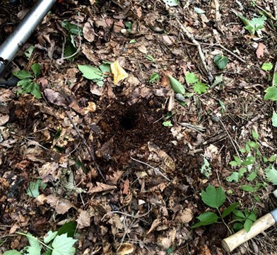
Meanwhile, there are researchers who still walk into a field and collect data manually. Those researchers make a plan, prepare, and embark on the fieldwork, but ‘expected results’ are not always 100% guaranteed. And they can’t shrug off a slight doubt.

I felt that doubt when I stood in front of those mountains covered with lush vegetation. ‘Will I be able to find what I want from collecting just dozens of tiny 30 cm length samples over this vast land?’ The doubt lingered for a long time.
The data I collected didn’t look promising in the beginning. It appeared that I wouldn’t find anything new other than what had already been known from past research. Besides that, the data looked like a random collection of numbers with a bunch of outliers.
It took time, but while juggling the data, some trends started emerging. Previously what seemed to be futile efforts started to look promising.
And here are some of the findings.
At the completion of this phase, I am still amazed at how solid and robust topography is. With the endless up and down surfaces, cliffs, depressions, streams, and vegetation, topography affects everything happening on it–what flows, what accumulates, what disappears, and what grows.
In Fukushima, radioactive elements fell from the sky ten years ago. They had been moving deeper in the soils, carrying the characteristics of the surface topography where they landed initially. And those characteristics were appearing even in those tiny samples that humans clumsily collected–in the same way that we carry our upbringing throughout our lives.
We can’t see it from the surface. But it is happening 20 cm deep under our feet, quietly.