

The New Era of Field Sampling Planning
The New Era of Field Sampling Planning
(published on 09/28/2021)

Deciding where to sample is the most important step in field research, as the decision affects the subsequent data analysis. We talk a lot about analytical methods, graphics, findings, and so on, but how much do we talk about ‘How to sample?'
Unlike digital data, field data collected in the natural environment is not replicable. If we return to the study site the next day, the conditions will have changed overnight because of precipitation, wind, and possible human and animal disturbance. Temperature and moisture levels will be different. Particularly for soils, once we remove the soil from the ground, we won't be able to collect exactly the same sample at the same spot ever again.
Soil sampling methods have been discussed extensively. There are theoretical textbooks for sampling. The organizations such as NRCS and the IAEA provide sampling guidelines. Now there are great R packages for soil sampling decision making.
Once we obtain our samples and the data, it's time to analyze them, but how? If our sampling plan and analysis methods are perfectly designed before we walk into the field, that is a plus. But sometimes, we can't decide what methodology we’ll use until we see the collected data.
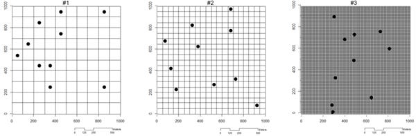
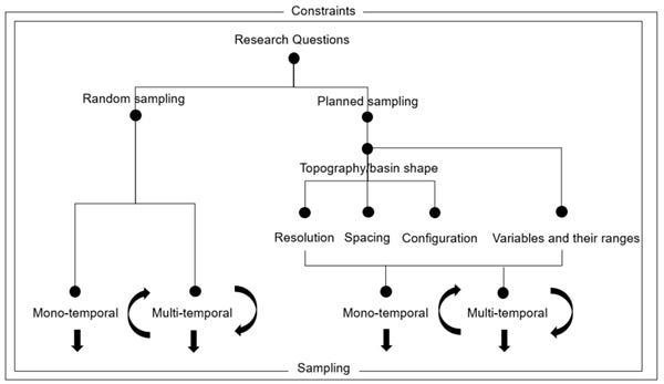
For example, if I have a 1 km (1000 m) x 1 km (1000 m) study site, and I can collect only ten samples because of the time and budget constraints, how should I determine the sampling locations?
1) Random sampling. But how about spatial resolutions?
2) But the land is not flat. Should I use contour lines? How should I configure the sampling locations then?
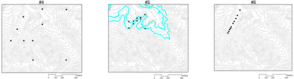
3) But, water flows. Should I use basin boundaries or water flow directions?
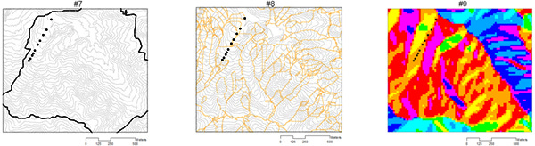
4) And, there are other topographic variables … How should I cover the variable ranges with a limited number of samples?
5) How about the temporal changes of the environment if I am sampling multiple times in the study site?
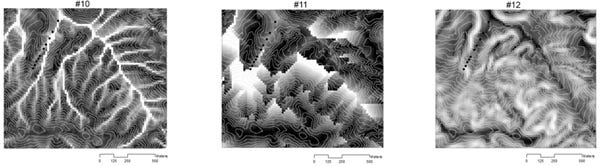
All these decisions need to be made while considering the constraints of labor, technology, time, and other resources (Fig. 1). For my dissertation samples, I mixed #6 and #8-9. But now I realize that improvements were possible if I had used #10-12 as well.
Whatever the approaches we use, field sampling is like drawing an original painting. We can draw hundreds of different portraits from one subject (research question). With GIS and machine learning, new approaches to sampling design are possible now. Those new approaches will bring us new insights. With a renewed focus on 'How to sample?', this could be a new and exciting era of field sampling planning.